Location Overview
The 2Degrees Newton location is 13m high, has 3 licences associated, and is capable* of 3G UMTS and 4G LTE.
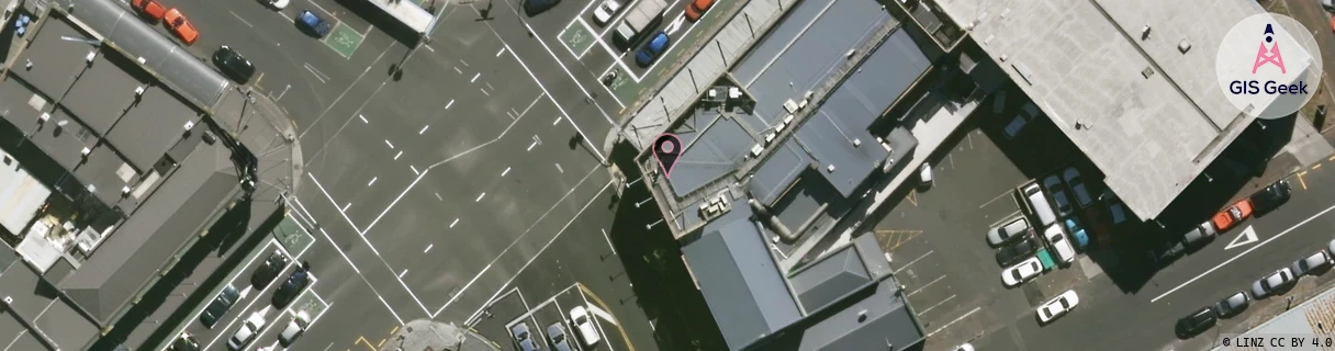
Location Raw Name: (AKL-007-089-B)[NWTR]_NEWTON
GIS Geek | LINZ | GMaps | Street View
Login required to upload photos or suggest corrections.
Closest Towers
| Provider | Location Name | Distance | Bearing |
|---|---|---|---|
| Spark | Karangahape Howe Ponsonby | 172m | 50.69 |
| OneNZ | K Road West | 5m | 88.73 |
| 2Degrees | Newton Relocate | 34m | 233.29 |
| RCG | RAKSSJ - Summerset St John | 7.76km | 100.42 |
Licence Details
Close Cell IDs 2Degrees MMC: 530 MNC: 24
| Radio | Area | Cell | Distance from tower | Bearing from tower | Samples |
|---|---|---|---|---|---|
| UMTS | 10004 | 71134 | 32m | 100.62 | 1 |
| UMTS | 10005 | 71134 | 32m | 100.62 | 1 |
| UMTS | 10002 | 1541890 | 70m | 36.76 | 3 |
| UMTS | 10002 | 71131 | 100m | 323.42 | 3 |
| UMTS | 10002 | 1541894 | 113m | 1.57 | 4 |
| UMTS | 10004 | 71135 | 91m | 266.31 | 1 |