Location Overview
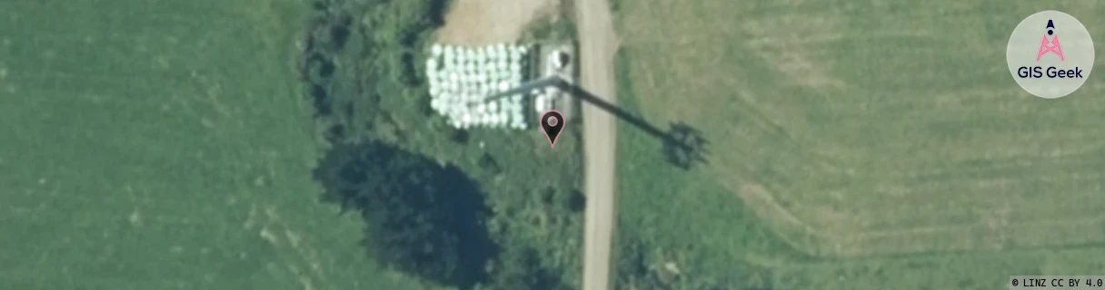
The Spark Kaponga location is 30m high, has 5 licences associated, and is capable* of 3G UMTS, 4G LTE and 5G.
GIS Geek | LINZ | GMaps | Street View
Login required to upload photos or suggest corrections.
Closest Towers
| Provider | Location Name | Distance | Bearing |
|---|---|---|---|
| Spark | National Gas Corporation Kapuni | 6.61km | 148.02 |
| OneNZ | Kaponga | 0m | 0 |
| 2Degrees | S_Kaponga | 1m | 358.27 |
| RCG | RTRTEK - Te Kiri | 12.65km | 264.63 |
Licence Details
Close Cell IDs Spark MMC: 530 MNC: 5
| Radio | Area | Cell | Distance from tower | Bearing from tower | Samples |
|---|---|---|---|---|---|
| LTE | 48151 | 408697 | 1.98km | 252.78 | 47 |
| LTE | 48151 | 408687 | 3.91km | 129.48 | 30 |
| UMTS | 48394 | 3193350 | 4.69km | 249.82 | 14 |
| UMTS | 48394 | 2808108 | 6.49km | 40.73 | 1 |
| UMTS | 48394 | 3188389 | 7.25km | 160.88 | 18 |
| UMTS | 48394 | 3193352 | 7.34km | 142.54 | 24 |
| UMTS | 48394 | 2805176 | 7.49km | 143.56 | 2 |
| UMTS | 48394 | 2805173 | 7.49km | 143.56 | 1 |
| UMTS | 48394 | 2808417 | 6.95km | 125.48 | 12 |
| UMTS | 48394 | 3193349 | 7.67km | 141.39 | 33 |