Location Overview
The 2Degrees Saxton Fields location is 24m high, has 3 licences associated, and is capable* of 3G UMTS and 4G LTE.
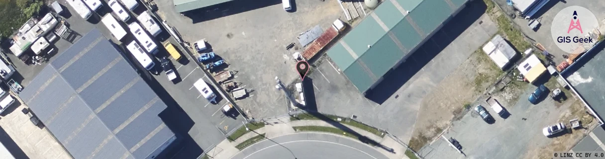
Location has been manually adjusted based on user feedback.
Location Raw Name: (MBN-052-015-D)[SXTN]_SAXTON FIELDS
GIS Geek | LINZ | GMaps | Street View
Login required to upload photos or suggest corrections.
Closest Towers
| Provider | Location Name | Distance | Bearing |
|---|---|---|---|
| Spark | Saxton | 137m | 230.42 |
| OneNZ | Nayland | 316m | 341.72 |
| 2Degrees | Stoke | 1.76km | 58.9 |
| RCG | RTARWP - Redwood Park | 14.87km | 269.47 |
Licence Details
Close Cell IDs 2Degrees MMC: 530 MNC: 24
| Radio | Area | Cell | Distance from tower | Bearing from tower | Samples |
|---|---|---|---|---|---|
| UMTS | 22215 | 422893 | 561m | 42.51 | 7 |
| UMTS | 22215 | 442889 | 522m | 92.1 | 9 |
| UMTS | 22215 | 422894 | 599m | 88.15 | 1 |
| UMTS | 22215 | 442891 | 887m | 236.54 | 3 |
| UMTS | 22215 | 442844 | 828m | 88.67 | 1 |
| UMTS | 22215 | 422895 | 952m | 236.28 | 6 |