Location Overview
The 2Degrees Tikipunga location is 14m high, has 4 licences associated, and is capable* of 3G UMTS and 4G LTE.
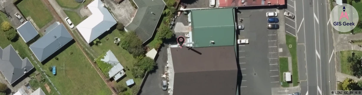
Location Raw Name: (NTH-002-021-A)[TPNG]_TIKIPUNGA
GIS Geek | LINZ | GMaps | Street View
Login required to upload photos or suggest corrections.
Closest Towers
| Provider | Location Name | Distance | Bearing |
|---|---|---|---|
| Spark | Tikipunga | 677m | 302.33 |
| OneNZ | Tikipunga | 2m | 89.36 |
| 2Degrees | Bush Haven Drive | 1.14km | 313.9 |
| RCG | RNLTAH - Tahere | 9.46km | 89.53 |
Licence Details
Close Cell IDs 2Degrees MMC: 530 MNC: 24
| Radio | Area | Cell | Distance from tower | Bearing from tower | Samples |
|---|---|---|---|---|---|
| LTE | 62202 | 1730819 | 482m | 171.77 | 50 |
| LTE | 62202 | 1730818 | 484m | 340.58 | 24 |
| UMTS | 22202 | 533361 | 609m | 176.93 | 25 |
| LTE | 62202 | 1730820 | 640m | 161.88 | 90 |
| UMTS | 22202 | 1730821 | 588m | 306.17 | 1 |
| LTE | 62202 | 1730817 | 643m | 35.98 | 23 |
| UMTS | 22202 | 543367 | 665m | 271.78 | 33 |
| LTE | 62202 | 2826760 | 795m | 48.23 | 2 |