Location Overview
The 2Degrees Kepa Bush location is 14m high, has 3 licences associated, and is capable* of 3G UMTS and 4G LTE.
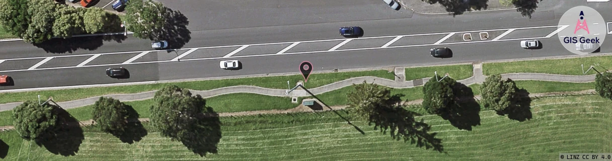
Location Raw Name: (AKL-007-012-B)[KPBR]_KEPA BUSH
GIS Geek | LINZ | GMaps | Street View
Login required to upload photos or suggest corrections.
Closest Towers
| Provider | Location Name | Distance | Bearing |
|---|---|---|---|
| Spark | Kepa Road | 75m | 340.11 |
| OneNZ | Meadowbank VF A5MDB | 138m | 134.08 |
| 2Degrees | Kepa Bush | 128m | 266.11 |
| RCG | RAKSSJ - Summerset St John | 1.68km | 135.21 |
Licence Details
Close Cell IDs 2Degrees MMC: 530 MNC: 24
| Radio | Area | Cell | Distance from tower | Bearing from tower | Samples |
|---|---|---|---|---|---|
| UMTS | 10002 | 735995 | 205m | 269.57 | 8 |
| UMTS | 10002 | 1564930 | 209m | 274.72 | 1 |
| LTE | 61002 | 2613785 | 242m | 269.53 | 4 |
| LTE | 61002 | 1560838 | 247m | 274.47 | 50 |
| LTE | 61002 | 2613781 | 345m | 75.94 | 20 |
| LTE | 10002 | 1560834 | 387m | 79.9 | 2 |