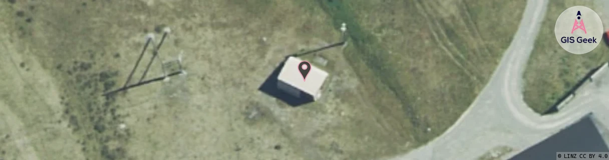
Location Overview
The Spark Tasman Airport location is 14m high, has 2 licences associated, and is capable* of 3G UMTS and 4G LTE.
GIS Geek | LINZ | GMaps | Street View
Login required to upload photos or suggest corrections.
Closest Towers
| Provider | Location Name | Distance | Bearing |
|---|---|---|---|
| Spark | Mt Cook (Telecom) | 4.85km | 321.61 |
| OneNZ | Mt Cook Vodafone | 4.83km | 319.97 |
| 2Degrees | S_Mt Cook | 4.87km | 320.78 |
| RCG | RWCKAG - Karangarua | 34.29km | 315.37 |
Licence Details
Close Cell IDs Spark MMC: 530 MNC: 5
| Radio | Area | Cell | Distance from tower | Bearing from tower | Samples |
|---|---|---|---|---|---|
| UMTS | 21401 | 1427676 | 2.63km | 287.38 | 1 |
| UMTS | 28398 | 1876429 | 4.68km | 317.48 | 96 |
| UMTS | 28398 | 1877649 | 4.73km | 319.06 | 66 |
| UMTS | 28398 | 1876432 | 4.75km | 319.03 | 103 |