Location Overview
The 2Degrees Dunsandel location is 37m high, has 2 licences associated, and is capable* of 3G UMTS and 4G LTE.
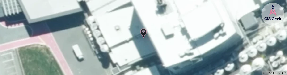
Location Raw Name: (CAN-062-012-A)[DUNS]_DUNSANDEL
GIS Geek | LINZ | GMaps | Street View
Login required to upload photos or suggest corrections.
Closest Towers
| Provider | Location Name | Distance | Bearing |
|---|---|---|---|
| Spark | Bankside | 438m | 307.71 |
| OneNZ | Bankside | 438m | 307.71 |
| 2Degrees | Norwood | 11.12km | 61.02 |
| RCG | RCTBSW - Bankside West | 10.87km | 291.75 |
Licence Details
Close Cell IDs 2Degrees MMC: 530 MNC: 24
| Radio | Area | Cell | Distance from tower | Bearing from tower | Samples |
|---|---|---|---|---|---|
| GSM | 216 | 39311 | 74m | 95.97 | 206 |
| LTE | 62216 | 1806101 | 689m | 46.17 | 50 |
| GSM | 216 | 39313 | 834m | 218.85 | 179 |
| LTE | 62216 | 1806081 | 1.26km | 57.64 | 30 |