Location Overview
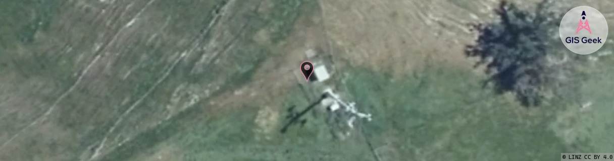
The Spark Puketapu location is 20m high, has 3 licences associated, and is capable* of 3G UMTS and 4G LTE.
GIS Geek | LINZ | GMaps | Street View
Login required to upload photos or suggest corrections.
Closest Towers
| Provider | Location Name | Distance | Bearing |
|---|---|---|---|
| Spark | Greenmeadows West | 6.5km | 117.34 |
| OneNZ | Puketapu (VF W1PKU) | 2m | 24.05 |
| 2Degrees | Taradale South | 6.61km | 144.27 |
| RCG | RHBSFR - Seafield Rd | 4.66km | 10.55 |
Licence Details
Close Cell IDs Spark MMC: 530 MNC: 5
| Radio | Area | Cell | Distance from tower | Bearing from tower | Samples |
|---|---|---|---|---|---|
| UMTS | 46101 | 3070911 | 3.72km | 149.66 | 1 |
| UMTS | 46101 | 3070908 | 3.88km | 157.56 | 1 |
| UMTS | 48393 | 3191980 | 4.15km | 182.1 | 1 |
| UMTS | 48393 | 3070911 | 4.7km | 150.44 | 1 |
| UMTS | 48393 | 3070908 | 5.5km | 146.9 | 1 |
| UMTS | 48393 | 3193224 | 6.07km | 122.02 | 5 |