Location Overview
The 2Degrees S_Waiheke Island 2 (Vfnz) location is 10m high, has 2 licences associated, and is capable* of 3G UMTS and 4G LTE.
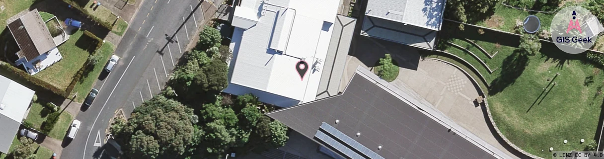
Location Raw Name: (AKL-007-283-A)[VWHI]_S_WAIHEKE ISLAND 2 (VFNZ)
GIS Geek | LINZ | GMaps | Street View
Login required to upload photos or suggest corrections.
Closest Towers
| Provider | Location Name | Distance | Bearing |
|---|---|---|---|
| Spark | Oneroa | 198m | 130.39 |
| OneNZ | Waiheke Island 2 | 1m | 186.73 |
| 2Degrees | Oneroa Township North | 127m | 110.76 |
| RCG | RAKWEK - Waiheke Omaru Bay | 13.83km | 119.03 |
Licence Details
Close Cell IDs 2Degrees MMC: 530 MNC: 24
| Radio | Area | Cell | Distance from tower | Bearing from tower | Samples |
|---|---|---|---|---|---|
| GSM | 53 | 53511 | 53m | 136.19 | 1 |
| UMTS | 10007 | 591452 | 100m | 249.61 | 2 |
| UMTS | 10007 | 601452 | 100m | 249.61 | 2 |
| UMTS | 10005 | 262805 | 160m | 102.24 | 1 |