Location Overview
The 2Degrees Kaikoura location is 19m high, has 6 licences associated, and is capable* of 3G UMTS, 4G LTE and 5G.
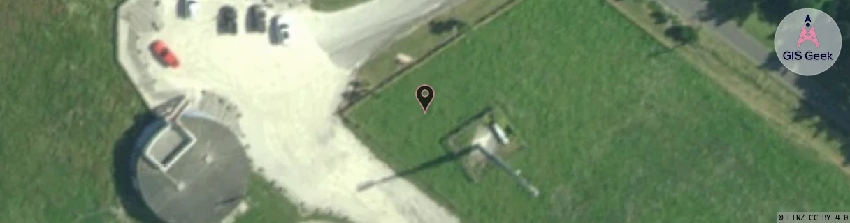
Location has been manually adjusted based on user feedback.
Location Raw Name: (CAN-054-002-E)[KAIK]_KAIKOURA
GIS Geek | LINZ | GMaps | Street View
Login required to upload photos or suggest corrections.
Closest Towers
| Provider | Location Name | Distance | Bearing |
|---|---|---|---|
| Spark | Kaikoura Reservoir | 47m | 143.93 |
| OneNZ | Kaikoura | 294m | 134.26 |
| 2Degrees | Kaikoura North | 3.08km | 340.89 |
| RCG | RCTKKW - Kaikoura West | 8.79km | 295.87 |
Licence Details
Close Cell IDs 2Degrees MMC: 530 MNC: 24
| Radio | Area | Cell | Distance from tower | Bearing from tower | Samples |
|---|---|---|---|---|---|
| UMTS | 22215 | 19783081 | 912m | 231.25 | 1 |
| GSM | 215 | 39553 | 1.06km | 310.67 | 3 |
| UMTS | 22215 | 39553 | 995m | 79.32 | 1 |
| LTE | 62215 | 1725700 | 1.58km | 335.49 | 5 |
| UMTS | 22215 | 452769 | 1.78km | 328.62 | 24 |
| UMTS | 22215 | 452765 | 1.92km | 330.86 | 7 |
| UMTS | 22215 | 452774 | 1.98km | 327.51 | 8 |
| UMTS | 22215 | 19786405 | 1.88km | 105.79 | 1 |
| UMTS | 22215 | 432774 | 2.32km | 328.83 | 32 |
| UMTS | 22215 | 452761 | 2.41km | 323.31 | 27 |
| LTE | 62215 | 1725702 | 3.12km | 331.07 | 3 |
| UMTS | 22215 | 452775 | 3.18km | 334.22 | 2 |