Location Overview
The 2Degrees Pirongia location is 18m high, has 6 licences associated, and is capable* of 3G UMTS, 4G LTE and 5G.
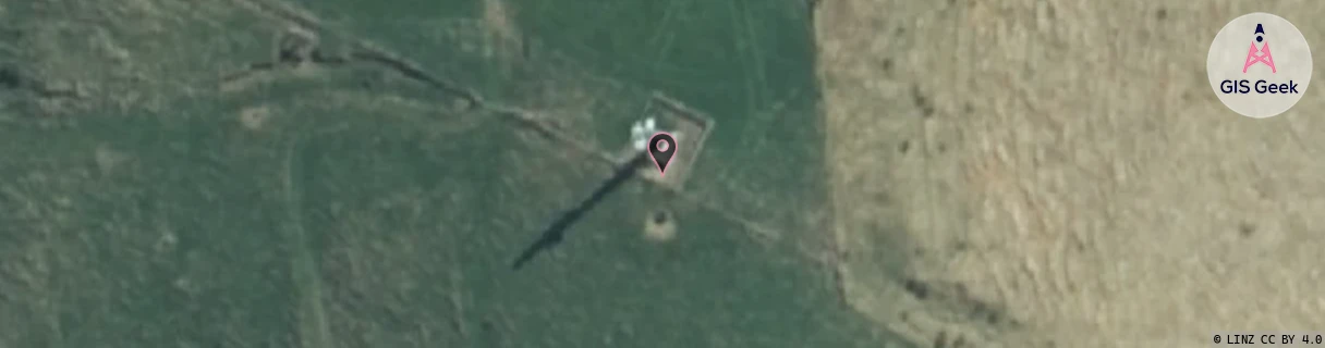
Location Raw Name: (WKT-018-004-C)[PRGA]_PIRONGIA
GIS Geek | LINZ | GMaps | Street View
Login required to upload photos or suggest corrections.
Closest Towers
| Provider | Location Name | Distance | Bearing |
|---|---|---|---|
| Spark | Pirongia | 178m | 343.31 |
| OneNZ | Pirongia 2 | 36m | 25.15 |
| 2Degrees | Te Awamutu | 14.18km | 81.33 |
| RCG | RWKTRA - Te Rauamoa | 11.61km | 240.2 |
Licence Details
Close Cell IDs 2Degrees MMC: 530 MNC: 24
| Radio | Area | Cell | Distance from tower | Bearing from tower | Samples |
|---|---|---|---|---|---|
| GSM | 135 | 6542 | 2.89km | 100.35 | 2 |
| GSM | 135 | 6541 | 2.97km | 109.9 | 3 |
| LTE | 62207 | 1760023 | 3.89km | 57.54 | 122 |
| LTE | 62207 | 1760003 | 4.64km | 101.52 | 12 |
| UMTS | 22207 | 270713 | 7.12km | 349.45 | 1 |
| UMTS | 22207 | 270689 | 7.25km | 158.41 | 96 |
| LTE | 62207 | 1760002 | 7.24km | 24.06 | 36 |
| GSM | 135 | 6523 | 7.35km | 22.98 | 2 |
| LTE | 62207 | 1760005 | 7.94km | 167.76 | 144 |
| UMTS | 22207 | 280691 | 8.59km | 23.72 | 2 |
| UMTS | 22207 | 280693 | 8.6km | 151.31 | 106 |
| UMTS | 22207 | 270691 | 8.77km | 22.25 | 2 |