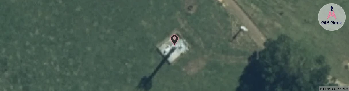
Location Overview
The 2Degrees S_Otewa location is 25m high, has 2 licences associated, and is capable* of 3G UMTS and 4G LTE.
Location Raw Name: (WKT-018-014-A)[VOTE]_S_OTEWA
GIS Geek | LINZ | GMaps | Street View
Login required to upload photos or suggest corrections.
Closest Towers
| Provider | Location Name | Distance | Bearing |
|---|---|---|---|
| Spark | Otewa | 1m | 183.14 |
| OneNZ | Otewa | 1m | 183.14 |
| 2Degrees | S_Maihiihi | 5km | 84.09 |
| RCG | RWKPKT - Puketutu | 22.58km | 203.66 |
Licence Details
Close Cell IDs 2Degrees MMC: 530 MNC: 24
| Radio | Area | Cell | Distance from tower | Bearing from tower | Samples |
|---|---|---|---|---|---|
| UMTS | 22206 | 270875 | 6.22km | 303 | 2 |
| UMTS | 22207 | 280701 | 7.66km | 336.3 | 164 |
| UMTS | 22207 | 270695 | 7.99km | 346.5 | 128 |
| UMTS | 22207 | 270701 | 7.62km | 313.52 | 4 |