Location Overview
The 2Degrees Henderson East location is 25m high, has 6 licences associated, and is capable* of 3G UMTS, 4G LTE and 5G.
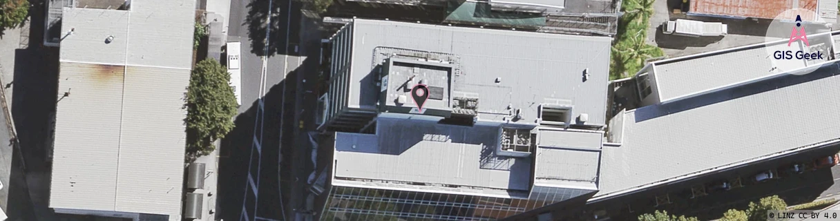
Location Raw Name: (AKL-006-003-D)[HDNE]_HENDERSON EAST
GIS Geek | LINZ | GMaps | Street View
Login required to upload photos or suggest corrections.
Closest Towers
| Provider | Location Name | Distance | Bearing |
|---|---|---|---|
| Spark | Henderson Shops | 140m | 121.91 |
| OneNZ | Bnz Westcity ONZ A2ZDT | 287m | 173.31 |
| 2Degrees | Henderson Central | 451m | 184 |
| RCG | RAKLGR - Long Road Lot | 11.43km | 276.27 |
Licence Details
Close Cell IDs 2Degrees MMC: 530 MNC: 24
| Radio | Area | Cell | Distance from tower | Bearing from tower | Samples |
|---|---|---|---|---|---|
| UMTS | 10005 | 1582852 | 149m | 275.2 | 2 |
| UMTS | 10004 | 66734 | 246m | 151.81 | 12 |
| LTE | 61005 | 1584129 | 227m | 114.37 | 1 |
| LTE | 61008 | 1584132 | 268m | 150.44 | 10 |
| UMTS | 10005 | 590927 | 292m | 210.02 | 8 |
| UMTS | 10005 | 600963 | 305m | 201.61 | 8 |
| UMTS | 10005 | 600932 | 314m | 170.62 | 9 |
| UMTS | 10004 | 600932 | 290m | 126.33 | 1 |
| UMTS | 10004 | 66639 | 290m | 126.33 | 1 |
| UMTS | 10004 | 66641 | 297m | 287.64 | 1 |
| UMTS | 10004 | 600961 | 360m | 161.94 | 1 |
| UMTS | 10005 | 600931 | 332m | 72.99 | 5 |