Location Overview
The Spark Crown Road location is 18m high, has 8 licences associated, and is capable* of 3G UMTS, 4G LTE and 5G.
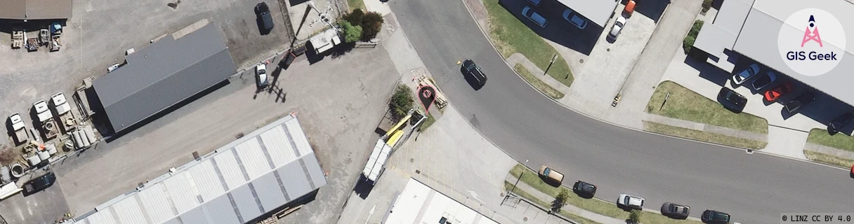
Location has been manually adjusted based on user feedback.
GIS Geek | LINZ | GMaps | Street View
Login required to upload photos or suggest corrections.
Closest Towers
| Provider | Location Name | Distance | Bearing |
|---|---|---|---|
| Spark | Taupo Exchange | 1.66km | 281.57 |
| OneNZ | Taupo East Relocate VF C4TEE | 393m | 321.42 |
| 2Degrees | Taupo East | 324m | 2.77 |
| RCG | RWKWTN - Waitahanui | 11.5km | 191.45 |
Licence Details
Close Cell IDs Spark MMC: 530 MNC: 5
| Radio | Area | Cell | Distance from tower | Bearing from tower | Samples |
|---|---|---|---|---|---|
| LTE | 4401 | 314225 | 534m | 106.78 | 8 |
| LTE | 4401 | 314240 | 626m | 264.18 | 1 |
| LTE | 4401 | 314239 | 647m | 263.65 | 1 |
| LTE | 4401 | 314251 | 666m | 264.12 | 1 |
| UMTS | 255 | 321401 | 868m | 338.89 | 5 |
| UMTS | 48392 | 3174049 | 738m | 76.2 | 2 |
| UMTS | 44102 | 2921902 | 943m | 180.96 | 11 |
| UMTS | 4401 | 317561 | 966m | 144.94 | 1 |
| UMTS | 44102 | 2921908 | 827m | 86.29 | 1 |
| UMTS | 44102 | 2921898 | 828m | 94.58 | 1 |
| UMTS | 48392 | 3174052 | 1.02km | 55.19 | 2 |
| LTE | 4401 | 314233 | 1.21km | 348.65 | 2 |
| UMTS | 48392 | 3170859 | 1.04km | 286.81 | 2 |
| UMTS | 44102 | 2921909 | 1.29km | 147.04 | 1 |
| UMTS | 44102 | 2921895 | 1.09km | 99.9 | 1 |
| LTE | 4401 | 314737 | 1.39km | 353.17 | 6 |