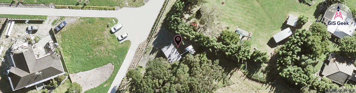
Location Overview
The Spark Whangaparoa Radio Station location is 20m high, has 5 licences associated, and is capable* of 3G UMTS and 4G LTE.
GIS Geek | LINZ | GMaps | Street View
Login required to upload photos or suggest corrections.
Closest Towers
| Provider | Location Name | Distance | Bearing |
|---|---|---|---|
| Spark | Stanmore Bay | 2.29km | 85.5 |
| OneNZ | Stanmore Bay | 27m | 80.43 |
| 2Degrees | Stanmore Bay | 27m | 165.86 |
| RCG | RAKWRN - Weranui | 9.22km | 302.6 |
Licence Details
Close Cell IDs Spark MMC: 530 MNC: 5
| Radio | Area | Cell | Distance from tower | Bearing from tower | Samples |
|---|---|---|---|---|---|
| UMTS | 18396 | 820363 | 889m | 42.94 | 15 |
| UMTS | 12302 | 817494 | 1.14km | 187.82 | 19 |
| UMTS | 12302 | 817738 | 1.48km | 325.95 | 13 |
| LTE | 1202 | 358255 | 1.52km | 313.56 | 3 |
| UMTS | 12302 | 820363 | 1.38km | 102.49 | 6 |
| UMTS | 18396 | 817733 | 1.4km | 89.96 | 22 |
| UMTS | 18396 | 817736 | 1.51km | 89.13 | 17 |
| LTE | 18121 | 358257 | 1.68km | 308.78 | 58 |
| UMTS | 12302 | 817736 | 1.55km | 96.39 | 6 |
| UMTS | 12302 | 817735 | 1.97km | 325.69 | 24 |