Location Overview
The 2Degrees Linton location is 23m high, has 6 licences associated, and is capable* of 3G UMTS, 4G LTE and 5G.
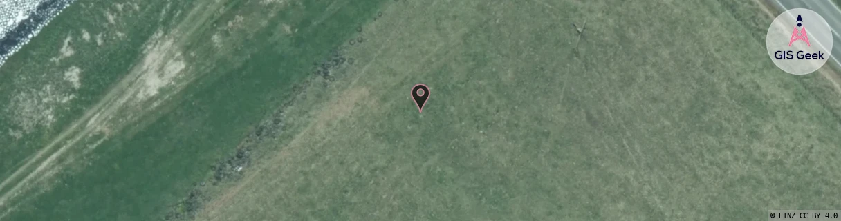
Location Raw Name: (MNW-040-009-B)[LNTN]_LINTON
GIS Geek | LINZ | GMaps | Street View
Login required to upload photos or suggest corrections.
Closest Towers
| Provider | Location Name | Distance | Bearing |
|---|---|---|---|
| Spark | Linton East | 1.5km | 102.76 |
| OneNZ | Linton VF W3LTN | 40m | 32.01 |
| 2Degrees | Massey Uni Pn | 4.07km | 46.79 |
| RCG | RMWAKV - Aokautere Valley | 9.32km | 79.57 |
Licence Details
Close Cell IDs 2Degrees MMC: 530 MNC: 24
| Radio | Area | Cell | Distance from tower | Bearing from tower | Samples |
|---|---|---|---|---|---|
| GSM | 815 | 16321 | 1.31km | 161.68 | 44 |
| GSM | 213 | 29383 | 1.18km | 130.7 | 2 |
| UMTS | 22213 | 377063 | 1.61km | 163.66 | 10 |
| LTE | 62213 | 1648644 | 1.97km | 192.31 | 3 |
| GSM | 213 | 29333 | 1.87km | 52.12 | 2 |
| UMTS | 22213 | 26406552 | 2.15km | 195.38 | 1 |
| GSM | 815 | 16312 | 1.84km | 96.5 | 11 |
| UMTS | 22213 | 377061 | 1.91km | 83.92 | 6 |
| UMTS | 22213 | 357068 | 2.45km | 209.29 | 2 |
| UMTS | 22213 | 376513 | 2.07km | 91.7 | 4 |
| GSM | 815 | 16313 | 2.5km | 218.68 | 5 |
| UMTS | 22213 | 1646598 | 2.97km | 5.04 | 2 |