Location Overview
The 2Degrees Onehunga West location is 14m high, has 5 licences associated, and is capable* of 3G UMTS and 4G LTE.
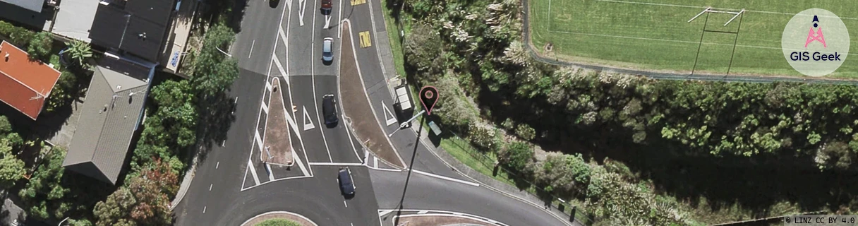
Location Raw Name: (AKL-007-107-A)[ONHW]_ONEHUNGA WEST
GIS Geek | LINZ | GMaps | Street View
Login required to upload photos or suggest corrections.
Closest Towers
| Provider | Location Name | Distance | Bearing |
|---|---|---|---|
| Spark | Queenstown Road | 81m | 222.33 |
| OneNZ | Hillsborough Motorway | 76m | 162.77 |
| 2Degrees | Pah Road | 1.21km | 8.53 |
| RCG | RAKSSJ - Summerset St John | 8.28km | 49.62 |
Licence Details
Close Cell IDs 2Degrees MMC: 530 MNC: 24
| Radio | Area | Cell | Distance from tower | Bearing from tower | Samples |
|---|---|---|---|---|---|
| UMTS | 10002 | 590079 | 111m | 147.2 | 1 |
| GSM | 52 | 8873 | 111m | 147.2 | 2 |
| UMTS | 10002 | 600083 | 111m | 147.2 | 1 |
| LTE | 61005 | 2936840 | 131m | 173.84 | 18 |
| UMTS | 10003 | 75795 | 122m | 221.83 | 1 |
| UMTS | 10003 | 65791 | 122m | 221.83 | 1 |
| UMTS | 10003 | 65795 | 122m | 221.83 | 1 |
| UMTS | 10003 | 76975 | 122m | 221.83 | 1 |
| UMTS | 10005 | 590089 | 130m | 98.7 | 43 |
| LTE | 61005 | 1556998 | 154m | 251.69 | 107 |