Location Overview
The 2Degrees Hampton Cow 2 location is 8m high, has 2 licences associated, and is capable* of 3G UMTS and 4G LTE.
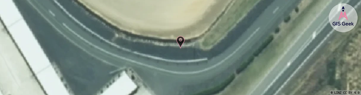
Location Raw Name: (COW-000-012)[HDCW]_HAMPTON COW 2
GIS Geek | LINZ | GMaps | Street View
Login required to upload photos or suggest corrections.
Closest Towers
| Provider | Location Name | Distance | Bearing |
|---|---|---|---|
| Spark | Hampton Downs | 250m | 9.55 |
| OneNZ | Meremere Straights 2 | 1.91km | 124.49 |
| 2Degrees | Hampton Cow 1 | 152m | 311.35 |
| RCG | RWKONS - Onewhero South | 11.76km | 270.63 |
Licence Details
Close Cell IDs 2Degrees MMC: 530 MNC: 24
| Radio | Area | Cell | Distance from tower | Bearing from tower | Samples |
|---|---|---|---|---|---|
| UMTS | 22206 | 62383477 | 865m | 4.58 | 60 |
| LTE | 62206 | 689037 | 959m | 98.33 | 51 |
| UMTS | 10007 | 270597 | 1.12km | 115.52 | 3 |
| UMTS | 22206 | 5792 | 1.16km | 107.76 | 1 |