Location Overview
The 2Degrees Morrinsville location is 18m high, has 6 licences associated, and is capable* of 3G UMTS, 4G LTE and 5G.
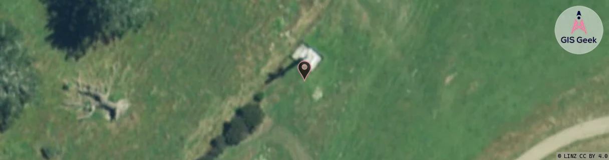
Location Raw Name: (WKT-015-003-D)[MRVE]_MORRINSVILLE
GIS Geek | LINZ | GMaps | Street View
Login required to upload photos or suggest corrections.
Closest Towers
| Provider | Location Name | Distance | Bearing |
|---|---|---|---|
| Spark | Morrinsville | 2.29km | 14.85 |
| OneNZ | Morrinsville | 37m | 221.96 |
| 2Degrees | Morrinsville Central | 2.38km | 15.56 |
| RCG | RWKTAW - Tauwhare | 13.18km | 200.83 |
Licence Details
Close Cell IDs 2Degrees MMC: 530 MNC: 24
| Radio | Area | Cell | Distance from tower | Bearing from tower | Samples |
|---|---|---|---|---|---|
| LTE | 62207 | 2876162 | 1.86km | 354.44 | 28 |
| LTE | 62207 | 2876167 | 1.83km | 319.66 | 36 |
| LTE | 62207 | 2876437 | 1.89km | 317.53 | 50 |
| LTE | 62207 | 1912328 | 2.1km | 11.71 | 22 |
| LTE | 62207 | 1912324 | 2.24km | 19.16 | 5 |
| UMTS | 22207 | 280111 | 2.11km | 306.39 | 1 |
| LTE | 62207 | 1912329 | 2.5km | 17.75 | 14 |
| LTE | 62207 | 1757187 | 2.72km | 315.91 | 2 |
| LTE | 62207 | 1757185 | 3.28km | 357.84 | 1 |
| GSM | 206 | 17961 | 3.22km | 243.49 | 1 |
| LTE | 62207 | 2876441 | 3.8km | 270.12 | 46 |
| LTE | 62206 | 1734914 | 4.94km | 352.9 | 8 |