Location Overview
The 2Degrees Hikurangi location is 18m high, has 5 licences associated, and is capable* of 3G UMTS and 4G LTE.
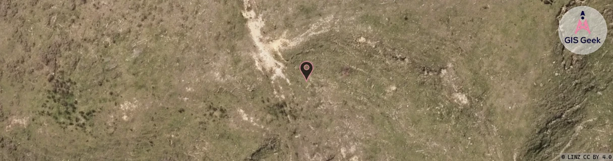
Location Raw Name: (NTH-002-004-B)[HIKU]_HIKURANGI
GIS Geek | LINZ | GMaps | Street View
Login required to upload photos or suggest corrections.
Closest Towers
| Provider | Location Name | Distance | Bearing |
|---|---|---|---|
| Spark | Parakiore | 5.93km | 187.14 |
| OneNZ | Hikurangi VF N1HIK | 1.89km | 295.59 |
| 2Degrees | Kamo North | 5.94km | 187.45 |
| RCG | RNLMUA - Marua | 6.35km | 43.38 |
Licence Details
Close Cell IDs 2Degrees MMC: 530 MNC: 24
| Radio | Area | Cell | Distance from tower | Bearing from tower | Samples |
|---|---|---|---|---|---|
| UMTS | 22202 | 271319 | 845m | 339.57 | 3 |
| UMTS | 22202 | 269147 | 718m | 279.77 | 1 |
| UMTS | 22202 | 1753354 | 970m | 187.29 | 1 |
| LTE | 62202 | 1788161 | 1.38km | 183.1 | 304 |
| GSM | 202 | 19175 | 1.47km | 168.97 | 2 |
| UMTS | 22202 | 270515 | 1.71km | 176.93 | 119 |
| LTE | 62202 | 1788163 | 1.45km | 265.43 | 400 |
| UMTS | 22202 | 270517 | 2.48km | 330.05 | 160 |
| LTE | 62202 | 1788165 | 2.55km | 341.61 | 492 |
| LTE | 62202 | 1753354 | 3.17km | 172.61 | 241 |