Location Overview
The 2Degrees Triangle Road location is 14m high, has 5 licences associated, and is capable* of 3G UMTS and 4G LTE.
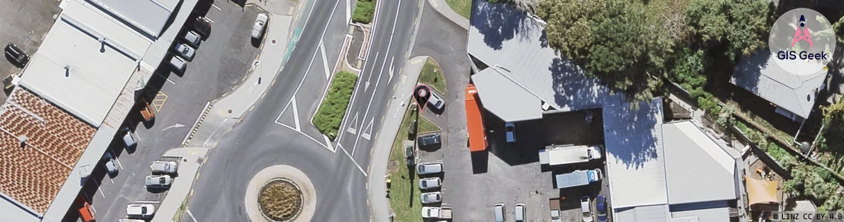
Location Raw Name: (AKL-006-048-A)[TRIR]_TRIANGLE ROAD
GIS Geek | LINZ | GMaps | Street View
Login required to upload photos or suggest corrections.
Closest Towers
| Provider | Location Name | Distance | Bearing |
|---|---|---|---|
| Spark | Massey West Shops | 89m | 219.39 |
| OneNZ | Triangle Road | 68m | 71.83 |
| 2Degrees | Massey North | 1.62km | 26.56 |
| RCG | RAKSMR - Summit Road | 8.62km | 258.52 |
Licence Details
Close Cell IDs 2Degrees MMC: 530 MNC: 24
| Radio | Area | Cell | Distance from tower | Bearing from tower | Samples |
|---|---|---|---|---|---|
| UMTS | 10004 | 2986819 | 240m | 81.59 | 3 |
| UMTS | 10004 | 66927 | 354m | 37.81 | 2 |
| UMTS | 10002 | 66929 | 352m | 131.68 | 1 |
| UMTS | 10005 | 66929 | 571m | 188.78 | 2 |
| UMTS | 10003 | 66295 | 519m | 71.88 | 1 |
| UMTS | 10004 | 76933 | 646m | 50.46 | 4 |
| UMTS | 10004 | 67480 | 606m | 252.78 | 1 |
| LTE | 61001 | 1696771 | 606m | 252.78 | 1 |
| UMTS | 10004 | 1581060 | 752m | 153.57 | 3 |
| LTE | 61004 | 1581060 | 824m | 163.33 | 15 |