Location Overview
The 2Degrees Normandale location is 14m high, has 5 licences associated, and is capable* of 3G UMTS and 4G LTE.
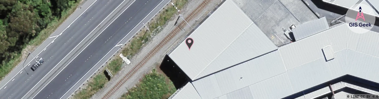
Location Raw Name: (WLG-046-014-G)[NDAL]_NORMANDALE
GIS Geek | LINZ | GMaps | Street View
Login required to upload photos or suggest corrections.
Closest Towers
| Provider | Location Name | Distance | Bearing |
|---|---|---|---|
| Spark | Alicetown | 722m | 231.42 |
| OneNZ | Petone | 1.16km | 225.87 |
| 2Degrees | Alicetown | 541m | 171.86 |
| RCG | RWLNGR - North Grenada | 6.48km | 347.39 |
Licence Details
Close Cell IDs 2Degrees MMC: 530 MNC: 24
| Radio | Area | Cell | Distance from tower | Bearing from tower | Samples |
|---|---|---|---|---|---|
| LTE | 62001 | 2798084 | 47m | 358.17 | 24 |
| GSM | 8 | 20455 | 118m | 233.46 | 3 |
| UMTS | 20001 | 151651 | 243m | 201.71 | 10 |
| GSM | 7 | 20575 | 261m | 167.04 | 42 |
| UMTS | 20001 | 171651 | 247m | 229.11 | 12 |
| LTE | 62001 | 1625092 | 273m | 245.35 | 50 |
| UMTS | 20001 | 1625090 | 281m | 59.83 | 1 |
| GSM | 7 | 20521 | 302m | 244.98 | 6 |
| UMTS | 20002 | 151651 | 372m | 227.76 | 1 |
| UMTS | 20001 | 171529 | 419m | 206.46 | 5 |