Location Overview
The 2Degrees Whakarewarewa location is 23m high, has 5 licences associated, and is capable* of 3G UMTS and 4G LTE.
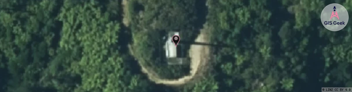
Location Raw Name: (BOP-024-019-A)[WHKR]_WHAKAREWAREWA
GIS Geek | LINZ | GMaps | Street View
Login required to upload photos or suggest corrections.
Closest Towers
| Provider | Location Name | Distance | Bearing |
|---|---|---|---|
| Spark | Kakapiko | 79m | 282.64 |
| OneNZ | Whakarewarewa | 69m | 327.22 |
| 2Degrees | Rotorua South | 5.46km | 326.09 |
| RCG | RBPBUV - Buried Village | 9.68km | 81.23 |
Licence Details
Close Cell IDs 2Degrees MMC: 530 MNC: 24
| Radio | Area | Cell | Distance from tower | Bearing from tower | Samples |
|---|---|---|---|---|---|
| GSM | 135 | 35733 | 622m | 224.7 | 1 |
| UMTS | 22207 | 281182 | 672m | 209.6 | 23 |
| UMTS | 22207 | 271177 | 702m | 193.26 | 20 |
| GSM | 207 | 19033 | 1.15km | 183.91 | 3 |
| UMTS | 22207 | 281177 | 1.11km | 217.96 | 3 |
| LTE | 62207 | 1793283 | 1.03km | 257.87 | 40 |
| GSM | 135 | 6763 | 1.11km | 277.21 | 11 |
| LTE | 62207 | 1793301 | 1.46km | 145.8 | 50 |
| LTE | 62207 | 1793303 | 1.34km | 278.1 | 37 |
| UMTS | 22207 | 281179 | 2.38km | 1.54 | 5 |