Location Overview
The 2Degrees Sherwood Rise location is 14m high, has 3 licences associated, and is capable* of 3G UMTS and 4G LTE.
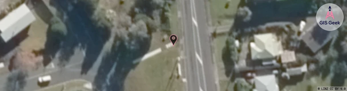
Location Raw Name: (NTH-002-016-D)[SHER]_SHERWOOD RISE
GIS Geek | LINZ | GMaps | Street View
Login required to upload photos or suggest corrections.
Closest Towers
| Provider | Location Name | Distance | Bearing |
|---|---|---|---|
| Spark | Onerahi Exchange | 560m | 175.58 |
| OneNZ | Onerahi ONZ N1ORH | 237m | 175.18 |
| 2Degrees | Sherwood Rise North | 550m | 354.84 |
| RCG | RNLMTG - Mt Tiger | 4.94km | 85.94 |
Licence Details
Close Cell IDs 2Degrees MMC: 530 MNC: 24
| Radio | Area | Cell | Distance from tower | Bearing from tower | Samples |
|---|---|---|---|---|---|
| LTE | 62202 | 1632002 | 78m | 112.13 | 17 |
| LTE | 62202 | 1632006 | 287m | 309.26 | 193 |
| LTE | 62202 | 1632005 | 622m | 295.33 | 200 |
| LTE | 62202 | 1632001 | 672m | 114.03 | 23 |
| UMTS | 22202 | 279011 | 802m | 348.69 | 6 |
| LTE | 62202 | 1878384 | 866m | 347.69 | 22 |