Location Overview
The OneNZ Okato Town VF W2OKO location is 15m high, has 8 licences associated, and is capable* of 2G GSM, 3G UMTS, 4G LTE and 5G.
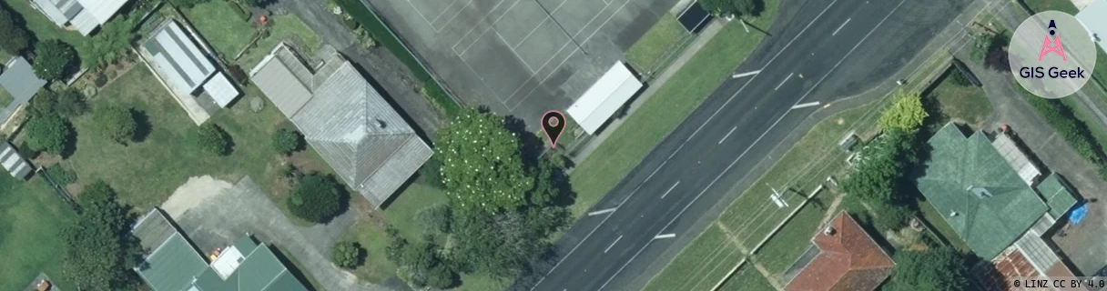
GIS Geek | LINZ | GMaps | Street View
Login required to upload photos or suggest corrections.
Closest Towers
| Provider | Location Name | Distance | Bearing |
|---|---|---|---|
| Spark | Carrington Road | 8.77km | 109.03 |
| OneNZ | Carrington Road | 8.88km | 109.09 |
| 2Degrees | S_Carrington Road | 8.88km | 109.09 |
| RCG | RTRPNG - Pungarehu | 10.67km | 212.36 |
Licence Details
Close Cell IDs OneNZ MMC: 530 MNC: 1
| Radio | Area | Cell | Distance from tower | Bearing from tower | Samples |
|---|---|---|---|---|---|
| UMTS | 1603 | 26383542 | 672m | 24.5 | 2 |
| UMTS | 1603 | 26383549 | 793m | 9.84 | 1 |
| GSM | 14 | 11341 | 4.99km | 46.91 | 1 |
| GSM | 14 | 11343 | 4.99km | 46.91 | 1 |
| UMTS | 1603 | 26393282 | 7.58km | 50.52 | 1 |
| UMTS | 1603 | 26383551 | 8.9km | 227.01 | 1 |
| UMTS | 1603 | 26403597 | 9.19km | 224.56 | 1 |
| GSM | 14 | 11723 | 9.51km | 46.58 | 1 |
| UMTS | 1603 | 26379859 | 9.55km | 51.44 | 3 |
| UMTS | 1603 | 26393290 | 10.35km | 44.86 | 2 |
| UMTS | 1603 | 26379852 | 10.15km | 53.41 | 5 |
| UMTS | 1603 | 26383548 | 10.83km | 220.97 | 1 |
| GSM | 14 | 11721 | 11.05km | 46.36 | 1 |
| GSM | 14 | 10793 | 11.12km | 53.07 | 2 |
| UMTS | 1603 | 26403600 | 11.88km | 219.15 | 2 |
| GSM | 14 | 11722 | 11.59km | 47.24 | 1 |