Location Overview
The 2Degrees Ahipara location is 6m high, has 3 licences associated, and is capable* of 3G UMTS and 4G LTE.
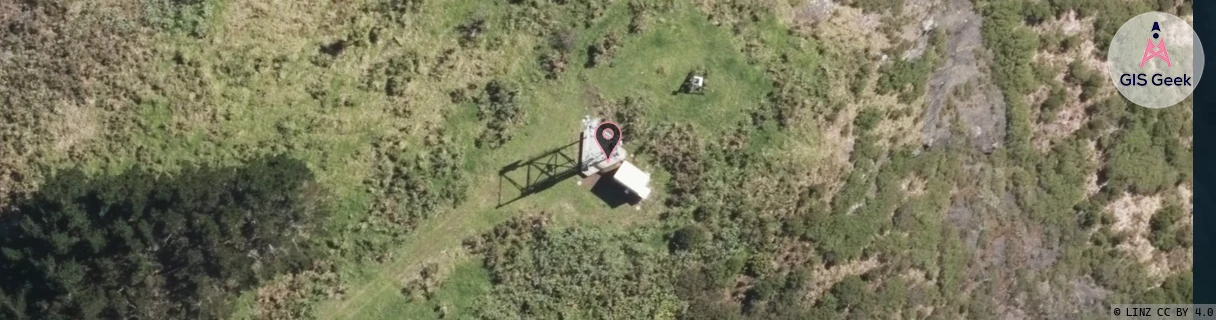
Location Raw Name: (NTH-001-045-A)[AHPA]_AHIPARA
GIS Geek | LINZ | GMaps | Street View
Login required to upload photos or suggest corrections.
Closest Towers
| Provider | Location Name | Distance | Bearing |
|---|---|---|---|
| Spark | Ahipara | 32m | 82.63 |
| OneNZ | Ahipara | 160m | 222.22 |
| 2Degrees | Kaitaia | 13.66km | 56.87 |
| RCG | RNLHRK - Herekino | 12.51km | 144.68 |
Licence Details
Close Cell IDs 2Degrees MMC: 530 MNC: 24
| Radio | Area | Cell | Distance from tower | Bearing from tower | Samples |
|---|---|---|---|---|---|
| LTE | 62202 | 1712644 | 7.97km | 72.44 | 11 |
| UMTS | 22202 | 270777 | 12.14km | 130.07 | 5 |
| UMTS | 22202 | 280802 | 12.68km | 61.77 | 1 |
| UMTS | 22202 | 270797 | 12.76km | 62.7 | 31 |
| UMTS | 22202 | 59085591 | 13.29km | 55.83 | 1 |
| LTE | 62202 | 1712646 | 13.89km | 52.66 | 2 |