Location Overview
The Spark Portage Road location is 17m high, has 7 licences associated, and is capable* of 3G UMTS, 4G LTE and 5G.
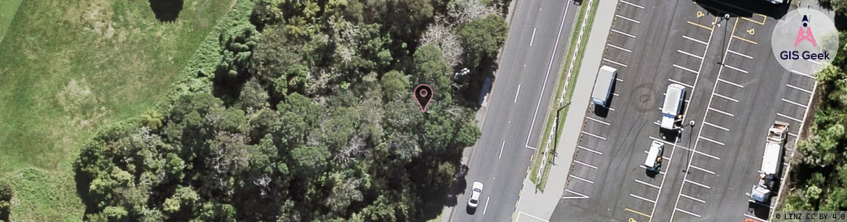
GIS Geek | LINZ | GMaps | Street View
Login required to upload photos or suggest corrections.
Closest Towers
| Provider | Location Name | Distance | Bearing |
|---|---|---|---|
| Spark | New Lynn East | 1.48km | 358.79 |
| OneNZ | Blockhouse Bay West | 112m | 8.67 |
| 2Degrees | Titirangi East | 30m | 192.43 |
| RCG | RAKMNB - Manawa Bay | 12.88km | 128.83 |
Licence Details
Close Cell IDs Spark MMC: 530 MNC: 5
| Radio | Area | Cell | Distance from tower | Bearing from tower | Samples |
|---|---|---|---|---|---|
| UMTS | 18394 | 1015853 | 193m | 46.75 | 2 |
| LTE | 18151 | 567677 | 255m | 197.72 | 12 |
| LTE | 18151 | 567687 | 277m | 21.46 | 7 |
| LTE | 1501 | 13254943 | 264m | 239.01 | 4 |
| UMTS | 18394 | 1015851 | 265m | 103.87 | 21 |
| UMTS | 15301 | 1015851 | 332m | 205.59 | 6 |
| LTE | 18151 | 15104800 | 349m | 19.07 | 60 |
| LTE | 18151 | 567685 | 369m | 6.27 | 19 |
| LTE | 1501 | 12942624 | 380m | 202.37 | 3 |
| UMTS | 15301 | 1015852 | 387m | 17.45 | 4 |
| LTE | 18151 | 158262396 | 390m | 206.38 | 35 |
| UMTS | 18394 | 1201700 | 373m | 225.89 | 4 |
| UMTS | 18394 | 1017101 | 373m | 111.6 | 8 |
| UMTS | 18394 | 1015856 | 452m | 357.26 | 12 |