Location Overview
The 2Degrees Mission Heights location is 6m high, has 2 licences associated, and is capable* of 3G UMTS and 4G LTE.
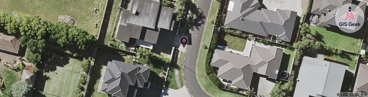
Location Raw Name: (AKL-008-118-A)[MIAU]_MISSION HEIGHTS
GIS Geek | LINZ | GMaps | Street View
Login required to upload photos or suggest corrections.
Closest Towers
| Provider | Location Name | Distance | Bearing |
|---|---|---|---|
| Spark | Stancombe Road | 611m | 204.72 |
| OneNZ | Flat Bush | 652m | 203.37 |
| 2Degrees | Flat Bush | 529m | 208.05 |
| RCG | RAKBRB - Brookby | 5.44km | 124.42 |
Licence Details
Close Cell IDs 2Degrees MMC: 530 MNC: 24
| Radio | Area | Cell | Distance from tower | Bearing from tower | Samples |
|---|---|---|---|---|---|
| LTE | 61007 | 1879142 | 287m | 102.2 | 31 |
| UMTS | 10003 | 66937 | 647m | 204.54 | 1 |
| LTE | 61007 | 1879152 | 708m | 156.83 | 6 |
| LTE | 61007 | 1588233 | 635m | 256.76 | 13 |