Location Overview
The 2Degrees Naenae East location is 10m high, has 2 licences associated, and is capable* of 3G UMTS and 4G LTE.
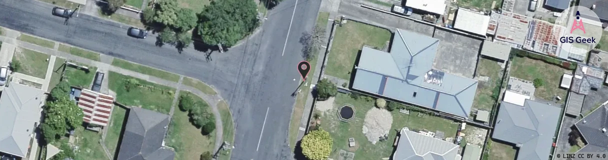
Location Raw Name: (WLG-046-056-A)[NEST]_NAENAE EAST
GIS Geek | LINZ | GMaps | Street View
Login required to upload photos or suggest corrections.
Closest Towers
| Provider | Location Name | Distance | Bearing |
|---|---|---|---|
| Spark | Naenae Industrial | 1.35km | 260.1 |
| OneNZ | Naenae West VF W5NNW | 1.36km | 265.73 |
| 2Degrees | Naenae South | 1.23km | 229.5 |
| RCG | RWLMOV - Moores Valley | 6.44km | 162.04 |
Licence Details
Close Cell IDs 2Degrees MMC: 530 MNC: 24
| Radio | Area | Cell | Distance from tower | Bearing from tower | Samples |
|---|---|---|---|---|---|
| LTE | 62001 | 1623398 | 109m | 190.36 | 1 |
| LTE | 62001 | 1623829 | 681m | 120.05 | 1 |
| LTE | 62001 | 1623408 | 691m | 262.36 | 1 |
| UMTS | 20001 | 151670 | 787m | 253.8 | 9 |