Location Overview
The 2Degrees Craggy Range location is 7m high, has 3 licences associated, and is capable* of 3G UMTS and 4G LTE.
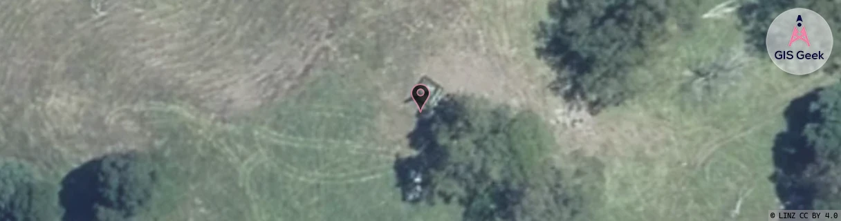
Location Raw Name: (HKB-030-025-A)[CGRG]_CRAGGY RANGE
GIS Geek | LINZ | GMaps | Street View
Login required to upload photos or suggest corrections.
Closest Towers
| Provider | Location Name | Distance | Bearing |
|---|---|---|---|
| Spark | Te Mata | 3.72km | 289.94 |
| OneNZ | Craggy Range | 10m | 188.8 |
| 2Degrees | Te Mata | 3.82km | 290.7 |
| RCG | RHBOCB - Ocean Beach | 8.86km | 138.96 |
Licence Details
Close Cell IDs 2Degrees MMC: 530 MNC: 24
| Radio | Area | Cell | Distance from tower | Bearing from tower | Samples |
|---|---|---|---|---|---|
| UMTS | 22210 | 377557 | 2.33km | 211.54 | 3 |
| GSM | 210 | 29963 | 3.44km | 341.95 | 3 |
| GSM | 210 | 29741 | 3.8km | 2.77 | 3 |
| GSM | 210 | 29773 | 3.95km | 4.13 | 1 |
| GSM | 210 | 29763 | 3.95km | 4.13 | 1 |
| UMTS | 22210 | 377658 | 3.21km | 288.09 | 3 |