Location Overview
The 2Degrees Matamata East location is 15m high, has 6 licences associated, and is capable* of 3G UMTS, 4G LTE and 5G.
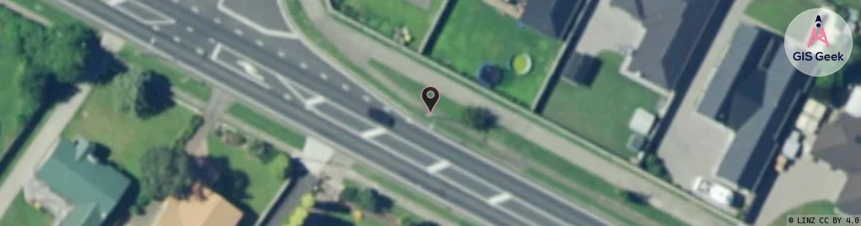
Location Raw Name: (WKT-015-019-A)[MTME]_MATAMATA EAST
GIS Geek | LINZ | GMaps | Street View
Login required to upload photos or suggest corrections.
Closest Towers
| Provider | Location Name | Distance | Bearing |
|---|---|---|---|
| Spark | Matamata East | 400m | 359.49 |
| OneNZ | Matamata East VF C2MME | 370m | 300.6 |
| 2Degrees | Matamata | 1.3km | 281.77 |
| RCG | RWKBUR - Buckland Road | 15.34km | 245.64 |
Licence Details
Close Cell IDs 2Degrees MMC: 530 MNC: 24
| Radio | Area | Cell | Distance from tower | Bearing from tower | Samples |
|---|---|---|---|---|---|
| UMTS | 22207 | 270165 | 234m | 327.13 | 1 |
| UMTS | 207 | 280171 | 406m | 295.33 | 1 |
| LTE | 62207 | 2955270 | 498m | 291 | 14 |
| LTE | 62207 | 1757461 | 570m | 122.64 | 19 |
| UMTS | 22207 | 280171 | 692m | 295.84 | 1 |
| GSM | 135 | 6741 | 1.01km | 285.74 | 7 |
| GSM | 207 | 17803 | 1.22km | 157.78 | 3 |
| LTE | 62207 | 2955541 | 1.05km | 114.05 | 46 |
| LTE | 62207 | 2875650 | 1.12km | 291.96 | 10 |
| LTE | 62207 | 2875929 | 1.38km | 291.16 | 3 |
| LTE | 62207 | 2875657 | 1.37km | 281.44 | 17 |
| UMTS | 22207 | 270167 | 1.39km | 273.87 | 22 |