Location Overview
The 2Degrees S_Manapouri location is 11m high, has 2 licences associated, and is capable* of 3G UMTS and 4G LTE.
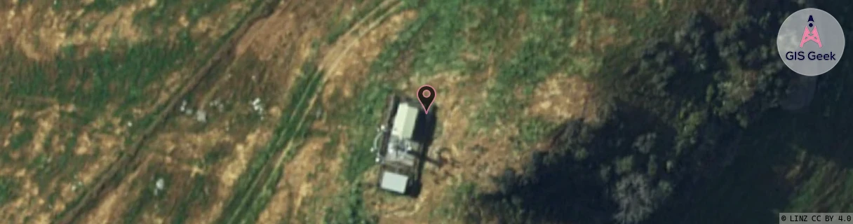
Location Raw Name: (STH-073-054-A)[VMPI]_S_MANAPOURI
GIS Geek | LINZ | GMaps | Street View
Login required to upload photos or suggest corrections.
Closest Towers
| Provider | Location Name | Distance | Bearing |
|---|---|---|---|
| Spark | Manapouri | 28m | 15.37 |
| OneNZ | Manapouri (VF S6MPI) | 1m | 140.98 |
| 2Degrees | S_Te Anau | 16.45km | 32.31 |
| RCG | RSLBLM - Blackmount | 24.41km | 182.04 |
Licence Details
Close Cell IDs 2Degrees MMC: 530 MNC: 24
| Radio | Area | Cell | Distance from tower | Bearing from tower | Samples |
|---|---|---|---|---|---|
| UMTS | 22220 | 19726614 | 5.75km | 357.66 | 1 |
| UMTS | 22220 | 19726607 | 12.35km | 66.23 | 18 |
| GSM | 220 | 39475 | 15.51km | 25.83 | 10 |
| UMTS | 22220 | 19763398 | 13.13km | 62.16 | 20 |