Location Overview
The OneNZ Mt Hutt ONZ S4MHT location is 15m high, has 6 licences associated, and is capable* of 2G GSM, 3G UMTS and 4G LTE.
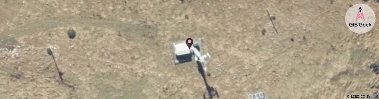
GIS Geek | LINZ | GMaps | Street View
Login required to upload photos or suggest corrections.
Closest Towers
| Provider | Location Name | Distance | Bearing |
|---|---|---|---|
| Spark | Mt Alford | 903m | 310.76 |
| OneNZ | Methven | 13.36km | 109.31 |
| 2Degrees | Mt Hutt | 31m | 231.52 |
| RCG | RCTRAK - Rakaia Gorge | 16.31km | 59.18 |
Licence Details
Close Cell IDs OneNZ MMC: 530 MNC: 1
| Radio | Area | Cell | Distance from tower | Bearing from tower | Samples |
|---|---|---|---|---|---|
| GSM | 27 | 21871 | 5.15km | 44.39 | 14 |
| LTE | 45072 | 261635 | 7.28km | 189.88 | 6 |
| GSM | 27 | 24921 | 8.64km | 42.74 | 1 |
| GSM | 27 | 21811 | 10.11km | 32.61 | 16 |
| LTE | 45072 | 19782763 | 10.7km | 206.27 | 1 |
| UMTS | 1301 | 19782763 | 12.12km | 197.86 | 3 |
| UMTS | 1301 | 19774771 | 12.15km | 208.74 | 1 |
| UMTS | 1301 | 19773997 | 12.38km | 209.58 | 1 |
| LTE | 45072 | 261634 | 10.82km | 114.76 | 6 |
| UMTS | 1301 | 19782765 | 11.63km | 65.13 | 1 |
| GSM | 27 | 21813 | 14.53km | 152.77 | 197 |
| UMTS | 1301 | 19782756 | 15.4km | 169.34 | 5 |