Location Overview
The 2Degrees Titahi Bay location is 14m high, has 4 licences associated, and is capable* of 3G UMTS and 4G LTE.
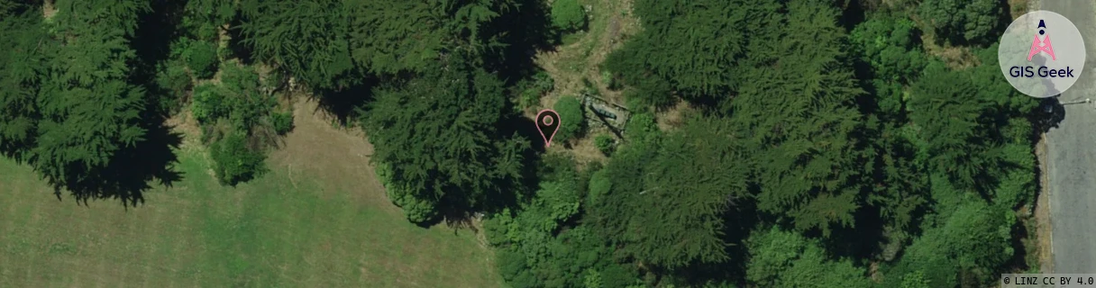
Location Raw Name: (WLG-044-002-F)[TITB]_TITAHI BAY
GIS Geek | LINZ | GMaps | Street View
Login required to upload photos or suggest corrections.
Closest Towers
| Provider | Location Name | Distance | Bearing |
|---|---|---|---|
| Spark | Titahi Bay | 1.33km | 207.01 |
| OneNZ | Titahi Bay | 1.13km | 193.5 |
| 2Degrees | Titahi Bay North | 1.29km | 203.66 |
| RCG | RWLWWR - Whitby Water Reservoir | 5.98km | 114.95 |
Licence Details
Close Cell IDs 2Degrees MMC: 530 MNC: 24
| Radio | Area | Cell | Distance from tower | Bearing from tower | Samples |
|---|---|---|---|---|---|
| GSM | 8 | 20961 | 775m | 192.65 | 9 |
| UMTS | 20002 | 172035 | 1.24km | 216.33 | 1 |
| UMTS | 20002 | 3039069 | 1.56km | 192.46 | 4 |
| UMTS | 22214 | 388446 | 1.58km | 189.74 | 8 |
| UMTS | 22214 | 388449 | 1.63km | 189.96 | 1 |
| GSM | 8 | 21151 | 1.7km | 165.02 | 6 |
| GSM | 8 | 21063 | 1.8km | 157.83 | 6 |
| UMTS | 20002 | 171389 | 1.61km | 129.95 | 7 |