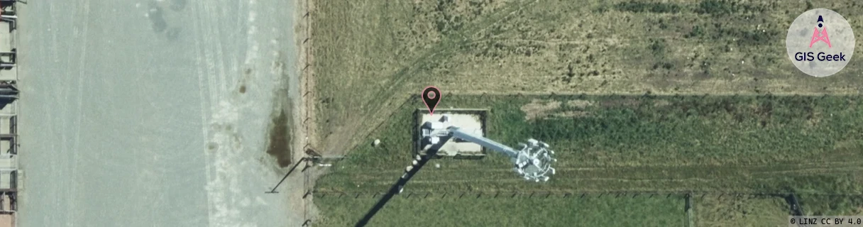
Location Overview
The Spark Lorneville location is 30m high, has 5 licences associated, and is capable* of 3G UMTS and 4G LTE.
GIS Geek | LINZ | GMaps | Street View
Login required to upload photos or suggest corrections.
Closest Towers
| Provider | Location Name | Distance | Bearing |
|---|---|---|---|
| Spark | Southland Tractors | 387m | 96.81 |
| OneNZ | Lorneville | 0m | 0 |
| 2Degrees | Lorneville Rbi | 0m | 90 |
| RCG | RSLWMT - Waimatua | 15.83km | 136.74 |
Licence Details
Close Cell IDs Spark MMC: 530 MNC: 5
| Radio | Area | Cell | Distance from tower | Bearing from tower | Samples |
|---|---|---|---|---|---|
| UMTS | 28397 | 1878273 | 581m | 133.94 | 1 |
| UMTS | 28397 | 1878270 | 1.31km | 152.53 | 3 |
| UMTS | 28397 | 1878271 | 1.38km | 288.34 | 1 |
| LTE | 28191 | 384387 | 1.38km | 262.36 | 8 |
| UMTS | 28397 | 1560594 | 1.58km | 285.82 | 2 |
| UMTS | 23412 | 1559870 | 2.25km | 356.08 | 5 |
| LTE | 28191 | 384367 | 1.85km | 56.27 | 25 |
| LTE | 28191 | 351369 | 2.33km | 168 | 1 |
| UMTS | 28397 | 1876749 | 1.89km | 296.61 | 3 |
| UMTS | 23412 | 1559322 | 2.48km | 168.73 | 1 |