Location Overview
The 2Degrees Whakapapa Cow location is 8m high, has 4 licences associated, and is capable* of 3G UMTS and 4G LTE.
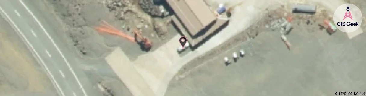
Location Raw Name: (COW-000-007-L)[WHCW]_WHAKAPAPA COW
GIS Geek | LINZ | GMaps | Street View
Login required to upload photos or suggest corrections.
Closest Towers
| Provider | Location Name | Distance | Bearing |
|---|---|---|---|
| Spark | Whakapapa Ski Field | 881m | 139.43 |
| OneNZ | Whakapapa Ski Field Capacity VF W2WCP | 2.47km | 150.22 |
| 2Degrees | Whakapapa Ski Field | 2.46km | 150.47 |
| RCG | RMWRRM - Ruarimu | 18.17km | 311.03 |
Licence Details
Close Cell IDs 2Degrees MMC: 530 MNC: 24
| Radio | Area | Cell | Distance from tower | Bearing from tower | Samples |
|---|---|---|---|---|---|
| UMTS | 22212 | 376497 | 7.33km | 182.89 | 1 |
| UMTS | 22213 | 375991 | 8.03km | 191.33 | 1 |
| GSM | 212 | 28813 | 8.69km | 193.48 | 1 |
| UMTS | 22213 | 356491 | 8.67km | 198.51 | 1 |
| LTE | 62212 | 704141 | 9.36km | 323.73 | 30 |
| UMTS | 22212 | 26403264 | 9.56km | 301.87 | 20 |
| LTE | 62212 | 702606 | 10.22km | 297.41 | 26 |
| UMTS | 22212 | 26392023 | 12.58km | 350.69 | 33 |