Location Overview
The 2Degrees Kenepuru location is 9m high, has 2 licences associated, and is capable* of 3G UMTS and 4G LTE.
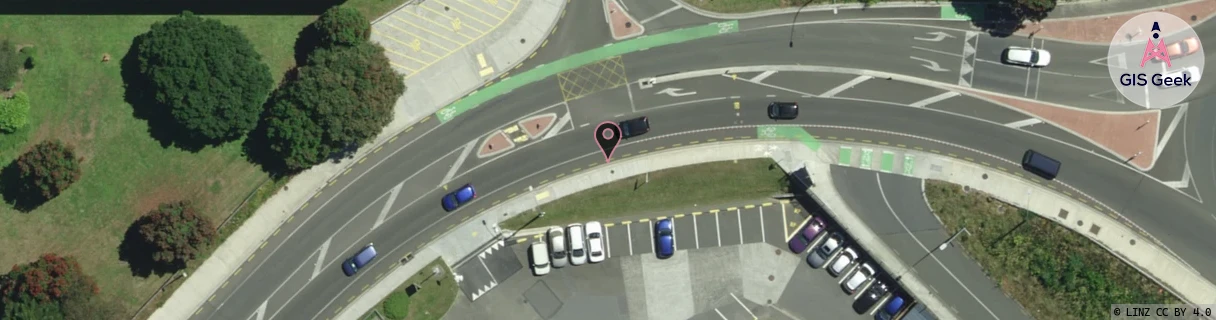
Location Raw Name: (WLG-044-021-A)[KPRU]_KENEPURU
GIS Geek | LINZ | GMaps | Street View
Login required to upload photos or suggest corrections.
Closest Towers
| Provider | Location Name | Distance | Bearing |
|---|---|---|---|
| Spark | Kenepuru ~Chem~ | 1km | 257.1 |
| OneNZ | Linden West VF W6LWS | 1.1km | 248.85 |
| 2Degrees | Linden | 1.06km | 245.2 |
| RCG | RWLNGR - North Grenada | 2.79km | 110.14 |
Licence Details
Close Cell IDs 2Degrees MMC: 530 MNC: 24
| Radio | Area | Cell | Distance from tower | Bearing from tower | Samples |
|---|---|---|---|---|---|
| LTE | 62214 | 1842340 | 154m | 155.89 | 22 |
| UMTS | 20002 | 151279 | 157m | 237.08 | 1 |
| UMTS | 22214 | 367998 | 236m | 319.59 | 3 |
| UMTS | 20003 | 171843 | 278m | 150.07 | 1 |