Location Overview
The 2Degrees Cromwell location is 20m high, has 6 licences associated, and is capable* of 3G UMTS, 4G LTE and 5G.
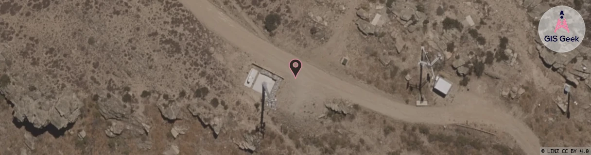
Location Raw Name: (OTG-069-006-C)[CRMW]_CROMWELL
GIS Geek | LINZ | GMaps | Street View
Login required to upload photos or suggest corrections.
Closest Towers
| Provider | Location Name | Distance | Bearing |
|---|---|---|---|
| Spark | Cromwell | 26m | 92.65 |
| OneNZ | Cromwell Cornish Point | 29m | 22.94 |
| 2Degrees | S_Cromwell | 9.52km | 282.88 |
| RCG | ROTLWB - Lowburn | 7.22km | 352.86 |
Licence Details
Close Cell IDs 2Degrees MMC: 530 MNC: 24
| Radio | Area | Cell | Distance from tower | Bearing from tower | Samples |
|---|---|---|---|---|---|
| GSM | 219 | 36631 | 1.57km | 1.66 | 5 |
| GSM | 219 | 36635 | 1.7km | 303.31 | 6 |
| LTE | 62219 | 1721090 | 2.12km | 1.23 | 3 |
| UMTS | 22219 | 449848 | 2.13km | 353.03 | 1 |
| UMTS | 22219 | 449847 | 2.07km | 337.33 | 19 |
| UMTS | 22219 | 449854 | 1.71km | 114.59 | 1 |
| UMTS | 22219 | 429853 | 2.26km | 341.94 | 2 |
| LTE | 62219 | 1754626 | 2.41km | 343.93 | 1 |
| UMTS | 22219 | 429854 | 1.83km | 108.39 | 1 |
| UMTS | 1302 | 19784273 | 2.58km | 338.88 | 5 |
| UMTS | 22219 | 449853 | 2.66km | 333.68 | 9 |
| UMTS | 22219 | 19785342 | 2.67km | 32.91 | 1 |