Location Overview
The 2Degrees Tamihana location is 18m high, has 5 licences associated, and is capable* of 3G UMTS and 4G LTE.
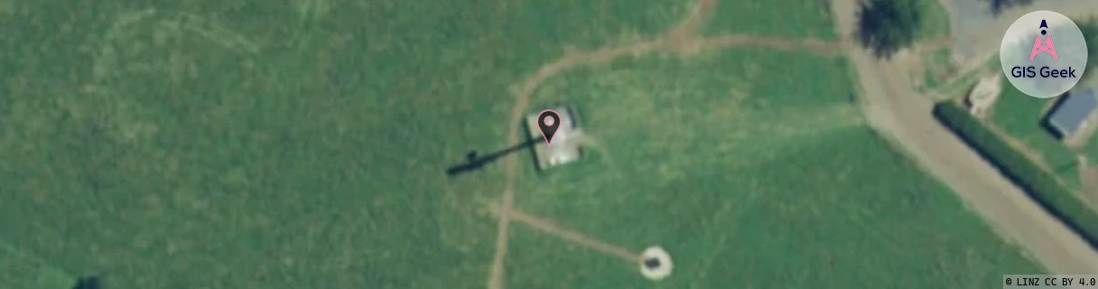
Location Raw Name: (WKT-015-011-C)[TMHN]_TAMIHANA
GIS Geek | LINZ | GMaps | Street View
Login required to upload photos or suggest corrections.
Closest Towers
| Provider | Location Name | Distance | Bearing |
|---|---|---|---|
| Spark | Waharoa | 4.93km | 97.48 |
| OneNZ | Tamihana 2 | 774m | 334.64 |
| 2Degrees | Matamata | 9.33km | 132.56 |
| RCG | RWKBUR - Buckland Road | 14.15km | 204.38 |
Licence Details
Close Cell IDs 2Degrees MMC: 530 MNC: 24
| Radio | Area | Cell | Distance from tower | Bearing from tower | Samples |
|---|---|---|---|---|---|
| UMTS | 22207 | 269907 | 5.2km | 19.88 | 11 |
| UMTS | 22207 | 269945 | 5.13km | 33.05 | 12 |
| GSM | 207 | 17801 | 5.63km | 27.01 | 1 |
| UMTS | 48982 | 269945 | 5.63km | 27.01 | 1 |
| LTE | 62207 | 1830147 | 4.89km | 84.59 | 6 |
| LTE | 62207 | 1905153 | 7.99km | 359.96 | 12 |
| GSM | 135 | 6401 | 8.3km | 354.73 | 26 |
| UMTS | 22207 | 62370509 | 8.33km | 357 | 5 |
| LTE | 62207 | 1757465 | 7.3km | 117.96 | 41 |
| UMTS | 22206 | 269945 | 8.66km | 355.92 | 2 |