Location Overview
The 2Degrees Yaldhurst location is 22m high, has 7 licences associated, and is capable* of 3G UMTS, 4G LTE and 5G.
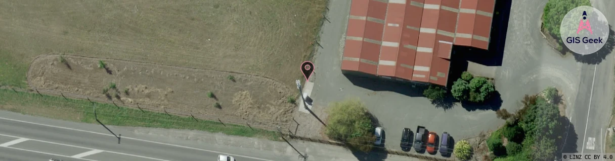
Location Raw Name: (CHC-060-090-D)[YALD]_YALDHURST
GIS Geek | LINZ | GMaps | Street View
Login required to upload photos or suggest corrections.
Closest Towers
| Provider | Location Name | Distance | Bearing |
|---|---|---|---|
| Spark | Yaldhurst | 111m | 122.46 |
| OneNZ | Yaldhurst | 112m | 119.64 |
| 2Degrees | Broomfield | 2.95km | 111.71 |
| RCG | RCTEYW - Eyrewell | 17.53km | 303.26 |
Licence Details
Close Cell IDs 2Degrees MMC: 530 MNC: 24
| Radio | Area | Cell | Distance from tower | Bearing from tower | Samples |
|---|---|---|---|---|---|
| UMTS | 30002 | 181633 | 23m | 191.41 | 1 |
| UMTS | 30001 | 181633 | 164m | 46.88 | 16 |
| LTE | 63001 | 2634500 | 508m | 144.82 | 11 |
| LTE | 63001 | 2634498 | 570m | 72.56 | 9 |
| UMTS | 30001 | 1674502 | 793m | 64.49 | 1 |
| UMTS | 30001 | 161639 | 829m | 100.01 | 8 |
| LTE | 63001 | 1824259 | 1.17km | 184.43 | 3 |
| LTE | 63001 | 1672453 | 1.01km | 114.9 | 40 |
| GSM | 216 | 38793 | 1.01km | 71.05 | 3 |
| UMTS | 1307 | 19790451 | 1.12km | 274.84 | 1 |
| UMTS | 30001 | 161341 | 1.26km | 110.5 | 135 |
| LTE | 63001 | 2634773 | 1.39km | 73.49 | 25 |
| GSM | 60 | 30563 | 1.86km | 144.2 | 6 |
| UMTS | 30001 | 181617 | 2.13km | 186.33 | 11 |