Location Overview
The 2Degrees The Base location is 12m high, has 3 licences associated, and is capable* of 3G UMTS and 4G LTE.
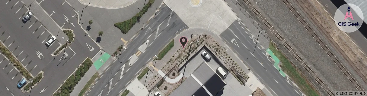
Location Raw Name: (WKT-016-065-A)[TBAU]_THE BASE
GIS Geek | LINZ | GMaps | Street View
Login required to upload photos or suggest corrections.
Closest Towers
| Provider | Location Name | Distance | Bearing |
|---|---|---|---|
| Spark | Pukete | 644m | 112.64 |
| OneNZ | Flagstaff West ONZ C3FLW | 733m | 319.49 |
| 2Degrees | Te Rapa North | 748m | 78.54 |
| RCG | RWKTPV - Temple View | 7.4km | 183.61 |
Licence Details
Close Cell IDs 2Degrees MMC: 530 MNC: 24
| Radio | Area | Cell | Distance from tower | Bearing from tower | Samples |
|---|---|---|---|---|---|
| UMTS | 22206 | 272120 | 288m | 43.33 | 7 |
| GSM | 206 | 19945 | 342m | 58.55 | 1 |
| GSM | 206 | 19993 | 460m | 163.37 | 3 |
| UMTS | 22206 | 272117 | 463m | 158.28 | 6 |
| GSM | 234 | 5983 | 485m | 220.66 | 2 |
| LTE | 62206 | 1912954 | 431m | 90.94 | 25 |