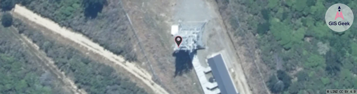
Location Overview
The Spark Rahotia location is 30m high, has 4 licences associated, and is capable* of 3G UMTS and 4G LTE.
GIS Geek | LINZ | GMaps | Street View
Login required to upload photos or suggest corrections.
Closest Towers
| Provider | Location Name | Distance | Bearing |
|---|---|---|---|
| Spark | Waikawa | 11.02km | 272.92 |
| OneNZ | Queen Charlotte Sound | 4.2km | 282.34 |
| 2Degrees | S_Queen Charlotte Sound (Bcl) | 4.21km | 282.97 |
| RCG | RMLSPT - Snake Point | 5.9km | 28.64 |
Licence Details
Close Cell IDs Spark MMC: 530 MNC: 5
| Radio | Area | Cell | Distance from tower | Bearing from tower | Samples |
|---|---|---|---|---|---|
| UMTS | 34999 | 1879699 | 1.29km | 237.05 | 6 |
| UMTS | 34999 | 1879705 | 3.26km | 55.18 | 3 |
| UMTS | 34999 | 2282921 | 3.72km | 29.08 | 1 |
| LTE | 28131 | 395109 | 4.24km | 26.59 | 2 |
| UMTS | 34999 | 1879702 | 4.91km | 49.6 | 5 |
| UMTS | 34999 | 2282915 | 5.05km | 50.3 | 1 |
| UMTS | 34999 | 2282918 | 6.71km | 61.78 | 1 |
| UMTS | 34999 | 2350406 | 7.28km | 303.56 | 1 |