Location Overview
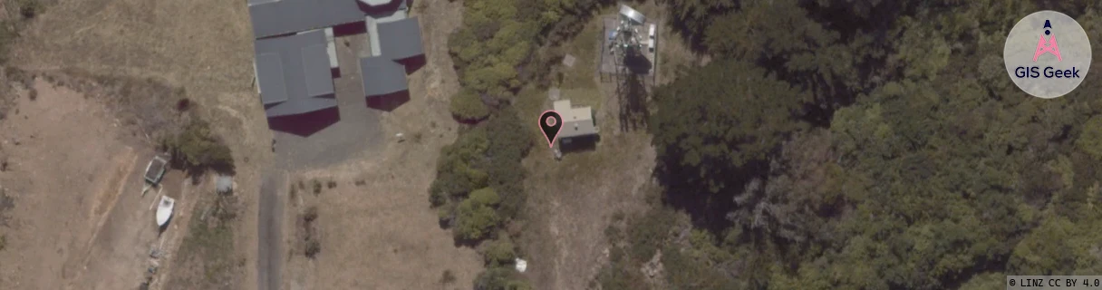
The 2Degrees Stewart Island location is 15m high, has 1 licence associated, and is capable* of 3G UMTS and 4G LTE.
Location Raw Name: (STH-073-017-A)[STEW]_STEWART ISLAND
GIS Geek | LINZ | GMaps | Street View
Login required to upload photos or suggest corrections.
Closest Towers
| Provider | Location Name | Distance | Bearing |
|---|---|---|---|
| Spark | Halfmoon Bay | 74m | 158.56 |
| OneNZ | Stewart Island | 21m | 38.6 |
| 2Degrees | Bluff | 37.6km | 22.85 |
| RCG | RSLHSB - Stewart Island (Horseshoe Bay) | 3.25km | 357.55 |
Licence Details
Close Cell IDs 2Degrees MMC: 530 MNC: 24
| Radio | Area | Cell | Distance from tower | Bearing from tower | Samples |
|---|---|---|---|---|---|
| UMTS | 22220 | 452049 | 4.04km | 334.78 | 1 |
| GSM | 220 | 39603 | 35.38km | 35.43 | 2 |