Location Overview
The 2Degrees Manawahe location is 23m high, has 3 licences associated, and is capable* of 3G UMTS and 4G LTE.
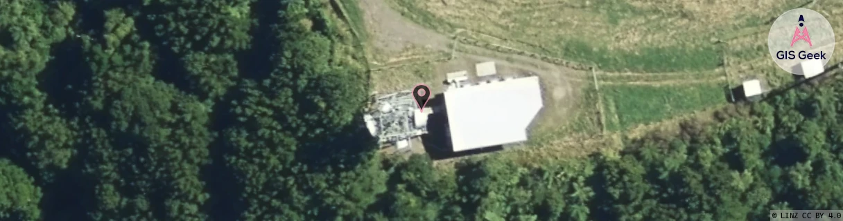
Location Raw Name: (BOP-025-011-A)[MNWH]_MANAWAHE
GIS Geek | LINZ | GMaps | Street View
Login required to upload photos or suggest corrections.
Closest Towers
| Provider | Location Name | Distance | Bearing |
|---|---|---|---|
| Spark | Manawahe | 17m | 100.88 |
| OneNZ | Manawahe | 17m | 100.88 |
| 2Degrees | Kawerau | 11.69km | 172.75 |
| RCG | RBPLRT - Lake Rotoma | 10.06km | 219.22 |
Licence Details
Close Cell IDs 2Degrees MMC: 530 MNC: 24
| Radio | Area | Cell | Distance from tower | Bearing from tower | Samples |
|---|---|---|---|---|---|
| UMTS | 22205 | 280675 | 5.5km | 151.76 | 2 |
| UMTS | 22205 | 270267 | 6.22km | 173.94 | 1 |
| UMTS | 22205 | 280347 | 6.11km | 138.11 | 1 |
| UMTS | 22205 | 280267 | 7.49km | 190.11 | 1 |
| UMTS | 22205 | 270683 | 8.79km | 206.42 | 1 |
| GSM | 136 | 7701 | 9.44km | 49.64 | 4 |