Location Overview
The Spark Normans Road location is 14m high, has 6 licences associated, and is capable* of 3G UMTS, 4G LTE and 5G.
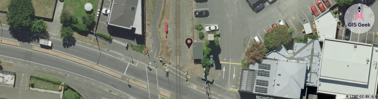
GIS Geek | LINZ | GMaps | Street View
Login required to upload photos or suggest corrections.
Closest Towers
| Provider | Location Name | Distance | Bearing |
|---|---|---|---|
| Spark | Papanui Road | 1.07km | 19.48 |
| OneNZ | Merivale Central | 1.07km | 90.81 |
| 2Degrees | Elmwood | 101m | 359.7 |
| RCG | RCTTPI - The Pines Beach | 16.11km | 26.76 |
Licence Details
Close Cell IDs Spark MMC: 530 MNC: 5
| Radio | Area | Cell | Distance from tower | Bearing from tower | Samples |
|---|---|---|---|---|---|
| UMTS | 24401 | 1623147 | 180m | 279.92 | 2 |
| UMTS | 28399 | 19759003 | 180m | 279.92 | 1 |
| LTE | 28151 | 423301 | 277m | 281.41 | 10 |
| UMTS | 24401 | 1623150 | 290m | 276.11 | 1 |
| UMTS | 24401 | 1623146 | 418m | 171.22 | 2 |
| UMTS | 28392 | 1876071 | 445m | 152.46 | 1 |
| LTE | 2401 | 12862752 | 451m | 210.11 | 24 |
| LTE | 28151 | 423299 | 374m | 289.71 | 9 |
| UMTS | 28399 | 19790081 | 502m | 7.31 | 1 |
| UMTS | 24401 | 1623149 | 498m | 207.33 | 3 |
| LTE | 28151 | 423291 | 501m | 208.02 | 47 |
| LTE | 28151 | 12862752 | 540m | 198.51 | 7 |