Location Overview
The 2Degrees Pt Chevalier location is 14m high, has 3 licences associated, and is capable* of 3G UMTS and 4G LTE.
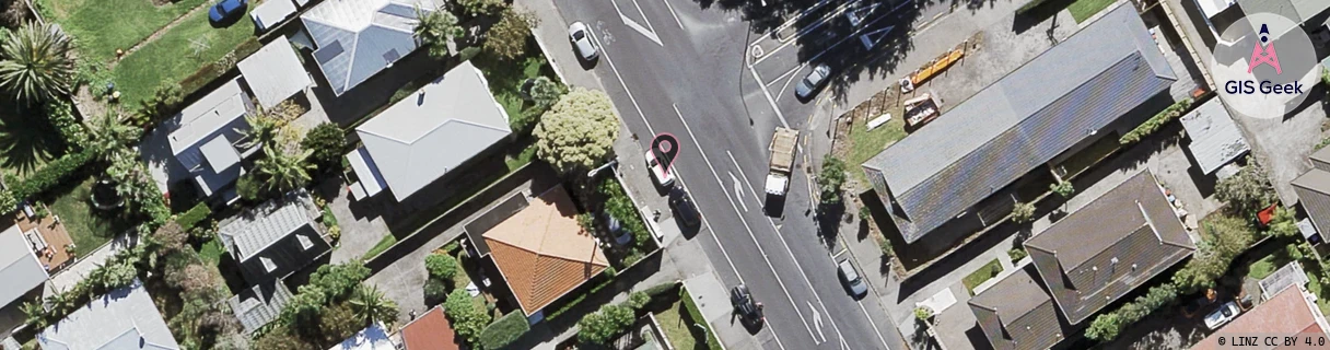
Location Raw Name: (AKL-007-100-E)[PCHV]_PT CHEVALIER
GIS Geek | LINZ | GMaps | Street View
Login required to upload photos or suggest corrections.
Closest Towers
| Provider | Location Name | Distance | Bearing |
|---|---|---|---|
| Spark | Point Chevalier | 477m | 329.34 |
| OneNZ | Point Chevalier East ONZ A4PCE | 553m | 0.31 |
| 2Degrees | Pt Chevalier South | 933m | 148.7 |
| RCG | RAKSSJ - Summerset St John | 11.93km | 94.58 |
Licence Details
Close Cell IDs 2Degrees MMC: 530 MNC: 24
| Radio | Area | Cell | Distance from tower | Bearing from tower | Samples |
|---|---|---|---|---|---|
| UMTS | 10002 | 71787 | 8m | 162.45 | 1 |
| UMTS | 10002 | 81794 | 150m | 118.47 | 2 |
| LTE | 61002 | 1547524 | 234m | 116.66 | 16 |
| UMTS | 10002 | 1547524 | 247m | 91.45 | 1 |
| LTE | 61004 | 1547524 | 287m | 139.66 | 10 |
| LTE | 61002 | 1547522 | 531m | 354.64 | 88 |