Location Overview
The 2Degrees Mangere East location is 15m high, has 3 licences associated, and is capable* of 3G UMTS and 4G LTE.
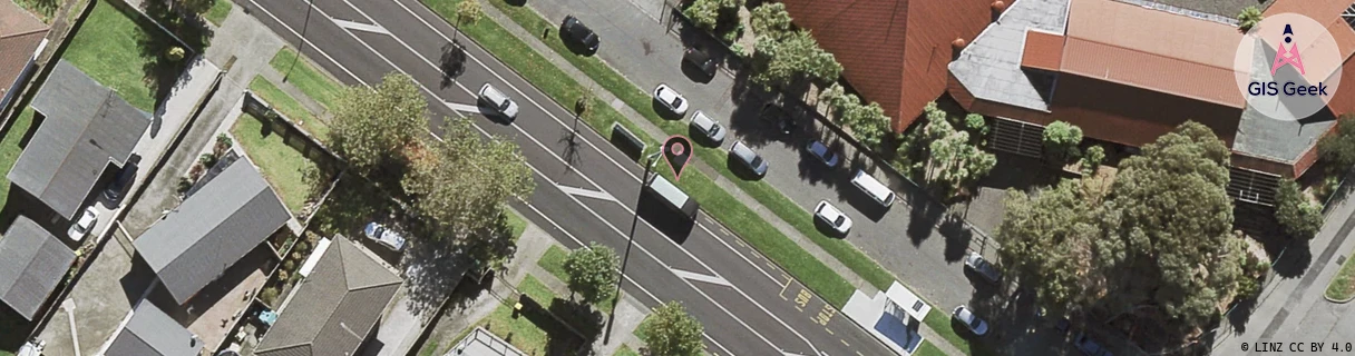
Location Raw Name: (AKL-008-086-F)[MGEB]_MANGERE EAST
GIS Geek | LINZ | GMaps | Street View
Login required to upload photos or suggest corrections.
Closest Towers
| Provider | Location Name | Distance | Bearing |
|---|---|---|---|
| Spark | Yates Road | 493m | 53.21 |
| OneNZ | Favona Central ONZ A8FVA | 255m | 350 |
| 2Degrees | Favona East | 1.1km | 43.45 |
| RCG | RAKMNB - Manawa Bay | 3.7km | 197.12 |
Licence Details
Close Cell IDs 2Degrees MMC: 530 MNC: 24
| Radio | Area | Cell | Distance from tower | Bearing from tower | Samples |
|---|---|---|---|---|---|
| UMTS | 10005 | 1589764 | 192m | 178.56 | 1 |
| UMTS | 10004 | 1590274 | 359m | 311.54 | 1 |
| UMTS | 10007 | 600823 | 395m | 199.98 | 8 |
| UMTS | 10004 | 1559298 | 365m | 265.06 | 1 |
| UMTS | 10003 | 82213 | 417m | 112.51 | 1 |
| LTE | 61005 | 1589764 | 511m | 174.97 | 29 |