Location Overview
The 2Degrees S_Arthurs Pass location is 10m high, has 2 licences associated, and is capable* of 3G UMTS and 4G LTE.
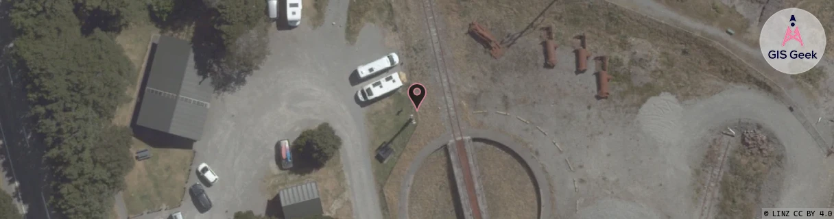
Location Raw Name: (CAN-062-022-A)[VARP]_S_ARTHURS PASS
GIS Geek | LINZ | GMaps | Street View
Login required to upload photos or suggest corrections.
Closest Towers
| Provider | Location Name | Distance | Bearing |
|---|---|---|---|
| Spark | Arthurs Pass | 342m | 168.95 |
| OneNZ | Arthurs Pass | 4m | 192.57 |
| 2Degrees | Rctbel - Bealey | 11.54km | 148.33 |
| RCG | RWCTBG - Temple Basin Goods Lift | 3.51km | 358.56 |
Licence Details
Close Cell IDs 2Degrees MMC: 530 MNC: 24
| Radio | Area | Cell | Distance from tower | Bearing from tower | Samples |
|---|---|---|---|---|---|
| LTE | 15616 | 26601227 | 16.26km | 102.22 | 3 |
| UMTS | 22216 | 65640660 | 16.48km | 101.1 | 2 |
| UMTS | 22216 | 65640650 | 16.54km | 101.24 | 23 |
| LTE | 15616 | 26601483 | 16.57km | 100.98 | 1 |