Location Overview
The 2Degrees Te Irirangi location is 24m high, has 4 licences associated, and is capable* of 3G UMTS and 4G LTE.
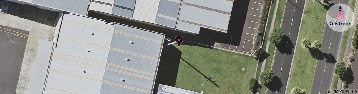
Location Raw Name: (AKL-008-044-E)[TEIR]_TE IRIRANGI
GIS Geek | LINZ | GMaps | Street View
Login required to upload photos or suggest corrections.
Closest Towers
| Provider | Location Name | Distance | Bearing |
|---|---|---|---|
| Spark | Te Irirangi Drive | 191m | 1.14 |
| OneNZ | Te Irirangi ONZ A8TER | 278m | 10.37 |
| 2Degrees | Botany Junction | 1.25km | 195.38 |
| RCG | RAKBRB - Brookby | 7.57km | 119.28 |
Licence Details
Close Cell IDs 2Degrees MMC: 530 MNC: 24
| Radio | Area | Cell | Distance from tower | Bearing from tower | Samples |
|---|---|---|---|---|---|
| UMTS | 10007 | 600811 | 61m | 102.07 | 1 |
| UMTS | 10007 | 590747 | 212m | 305.27 | 11 |
| LTE | 61007 | 1591554 | 245m | 31.22 | 45 |
| UMTS | 10005 | 262445 | 477m | 27.12 | 1 |
| UMTS | 10007 | 591411 | 520m | 177.48 | 3 |
| UMTS | 10003 | 65837 | 458m | 107.58 | 1 |
| LTE | 61007 | 1618439 | 588m | 156.84 | 16 |
| UMTS | 10007 | 591817 | 593m | 23.13 | 1 |