Location Overview
The OneNZ Palmerston ONZ S4PLT location is 15m high, has 8 licences associated, and is capable* of 2G GSM, 3G UMTS, 4G LTE and 5G.
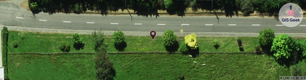
Location has been manually adjusted based on user feedback.
GIS Geek | LINZ | GMaps | Street View
Login required to upload photos or suggest corrections.
Closest Towers
| Provider | Location Name | Distance | Bearing |
|---|---|---|---|
| Spark | Mt Baldie | 10.58km | 198.94 |
| OneNZ | Moeraki | 8.09km | 75.04 |
| 2Degrees | S_Moeraki | 8.07km | 74.43 |
| RCG | ROTTRT - Trotter | 11.08km | 37.1 |
Licence Details
Close Cell IDs OneNZ MMC: 530 MNC: 1
| Radio | Area | Cell | Distance from tower | Bearing from tower | Samples |
|---|---|---|---|---|---|
| LTE | 45088 | 1630485 | 538m | 87.98 | 2 |
| GSM | 22 | 22037 | 559m | 86.33 | 2 |
| UMTS | 1305 | 19786602 | 932m | 352.4 | 4 |
| GSM | 22 | 21797 | 943m | 222.96 | 2 |
| UMTS | 1302 | 19786602 | 1.53km | 2.01 | 3 |
| GSM | 22 | 20532 | 1.8km | 347.92 | 2209 |
| UMTS | 1304 | 19786602 | 1.36km | 88.5 | 1 |
| UMTS | 1305 | 19786611 | 2.71km | 205.52 | 7 |
| GSM | 22 | 22211 | 2.95km | 188.66 | 927 |
| GSM | 22 | 21397 | 2.3km | 83.73 | 2 |
| GSM | 22 | 20773 | 2.53km | 68.86 | 9 |
| UMTS | 1305 | 19786614 | 4.25km | 197.49 | 4 |
| UMTS | 1305 | 19784426 | 4.51km | 202.56 | 3 |
| UMTS | 1305 | 19765215 | 5.19km | 180.53 | 3 |
| GSM | 29 | 22202 | 3.97km | 84.81 | 1 |
| UMTS | 1305 | 19786441 | 4.34km | 74.67 | 1 |